In 1972 Greg Curnoe began the first of several maps of North America, most likely in response to a commission to produce a cover for the January 1973 issue of the Journal of Canadian Fiction. Drawing on an interest in maps and islands informed by his childhood postage-stamp collection and some professional experience with mapping from a summer job in the City of London Surveys Department, he created this ink drawing. It is significant because it expresses Curnoe’s strong anti-Americanism by eliminating the United States entirely, yet naming islands, from Greenland to the obscure Clipperton Island, an uninhabited coral atoll in the Pacific Ocean that is well known to ham radio operators.
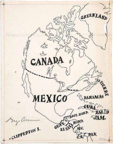
India ink on paper, 29.5 x 22.2 cm, Dalhousie Art Gallery, Dalhousie University, Halifax
In redrawing the map of North America, Curnoe may well have been aware of the 1929 Surrealist map of the world by an anonymous artist who redrew the continents, eliminating the United States completely. Here he makes his own tongue-in-cheek statement that fits his views about cultural imperialism. Sheila Curnoe recalls her husband coming into their kitchen after he had successfully connected Mexico to the Canadian border: “He was so pleased with himself. He was laughing about it. It was meant to be funny and not to be taken so seriously.” Although Curnoe made other versions of this map, this is the one that has been most exhibited, especially as an example of Conceptual art.
This Spotlight is excerpted from Greg Curnoe: Life & Work by Judith Rodger.
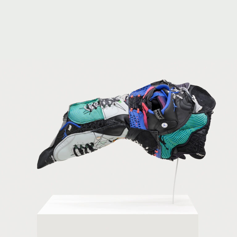
 Stitching the Archives
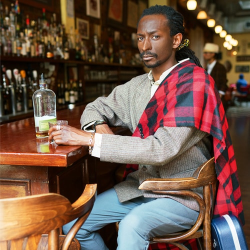
 A Working-Class Hero
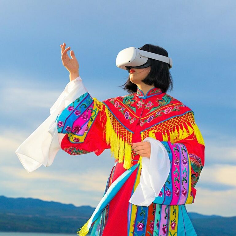
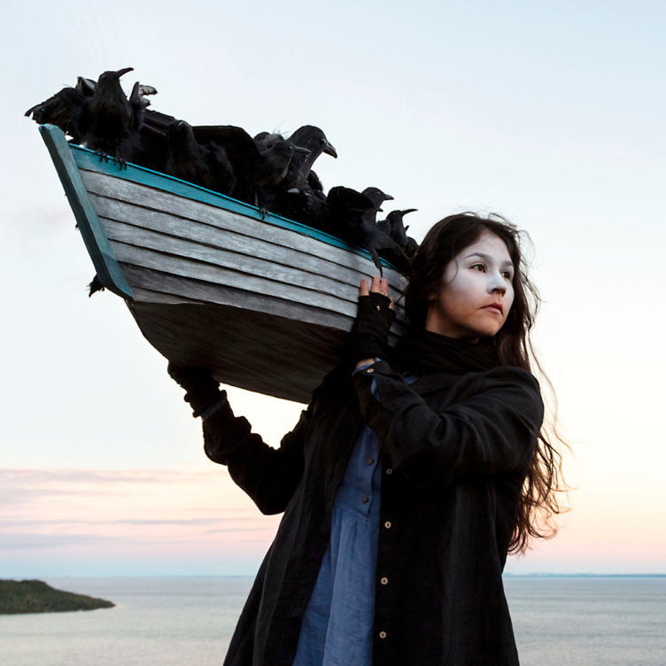
 Imagining Entangled Futures
 Bridging Far and Near
 Soft Power
 Imagining Emancipation
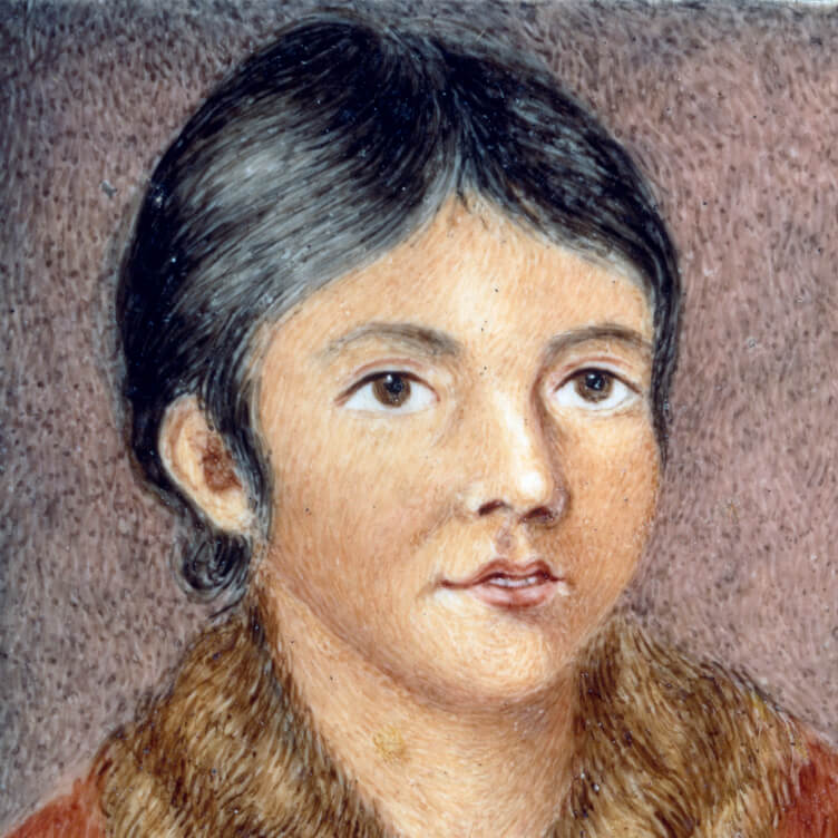 A Priceless Portrait
 Meditation in Monochrome
 Making His Mark
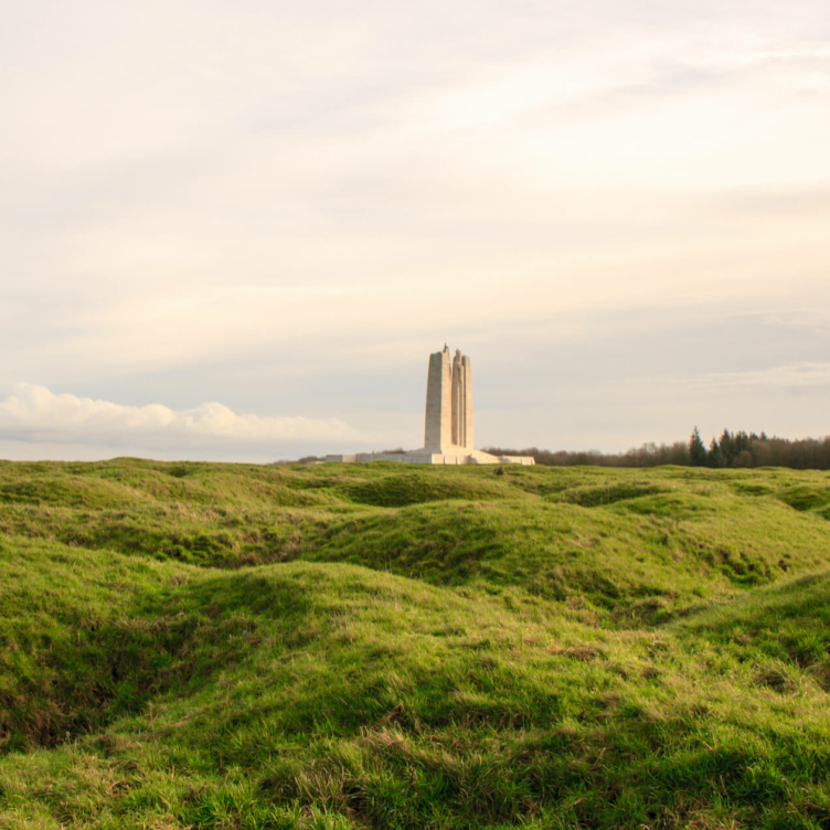 Honour and Sacrifice
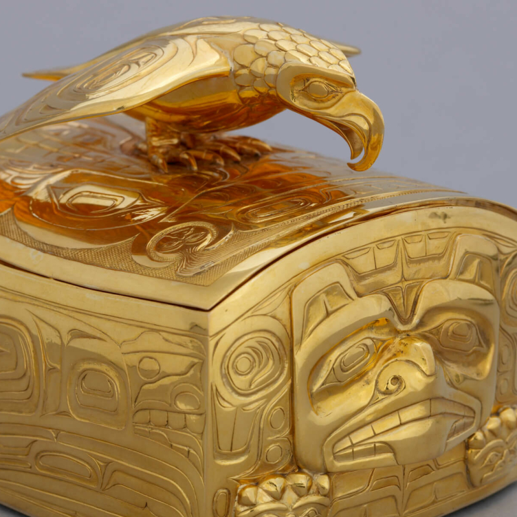
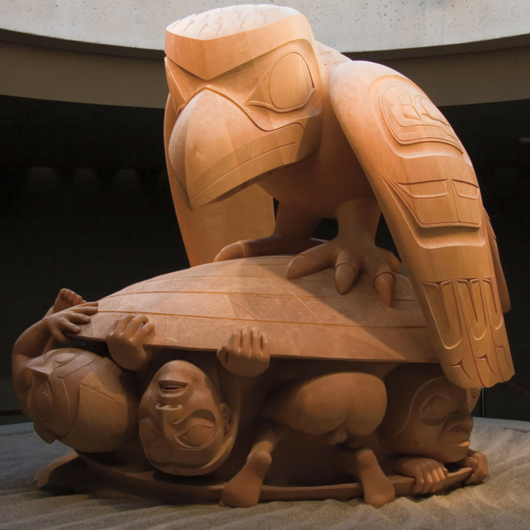
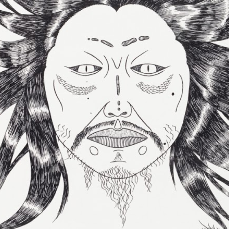 A Monstrous Vision
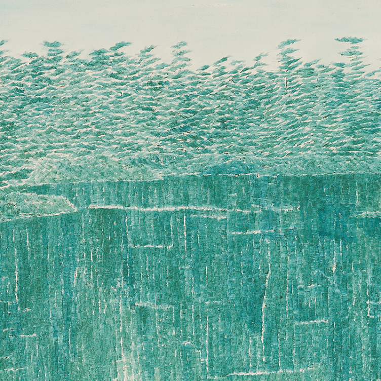
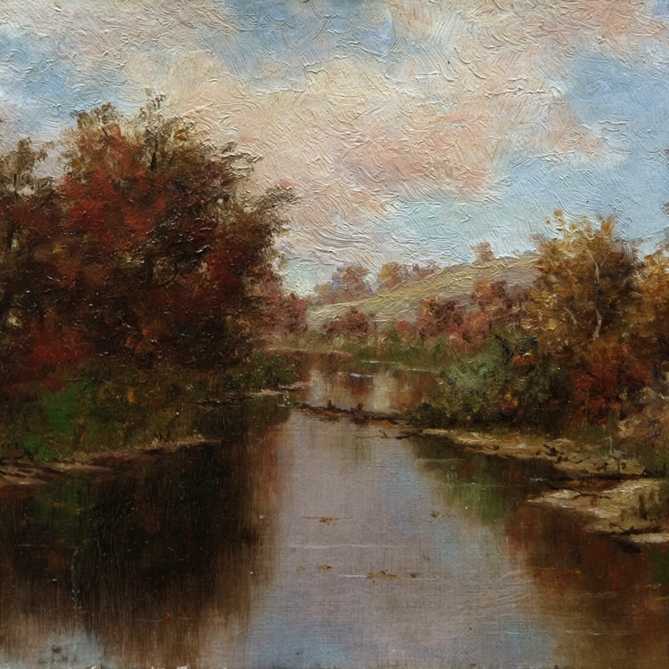 Remote Beauty
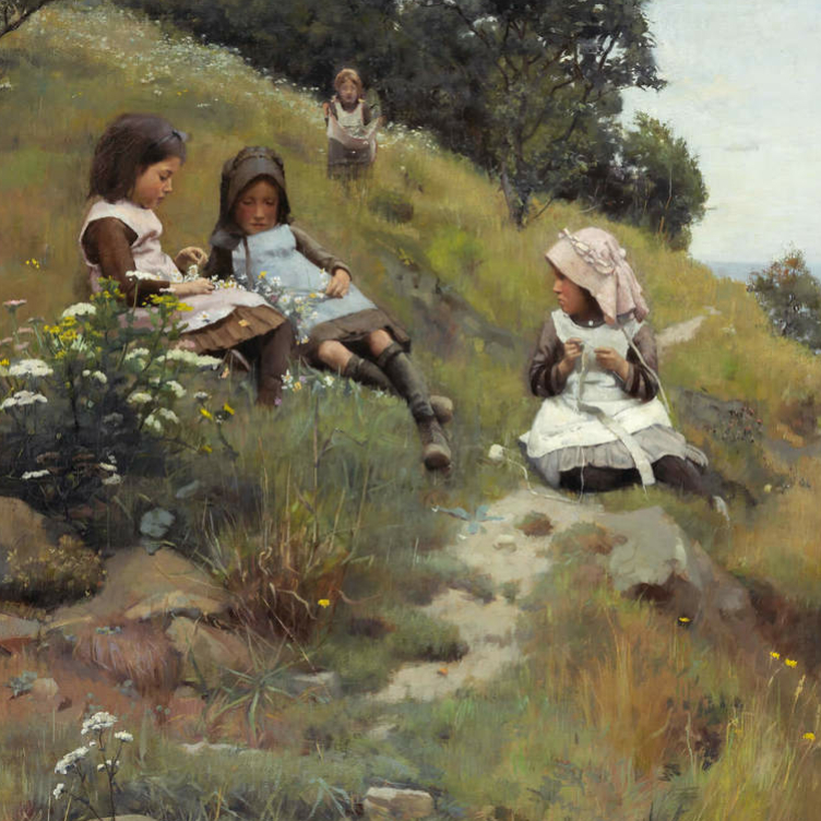
 Pride and Resistance
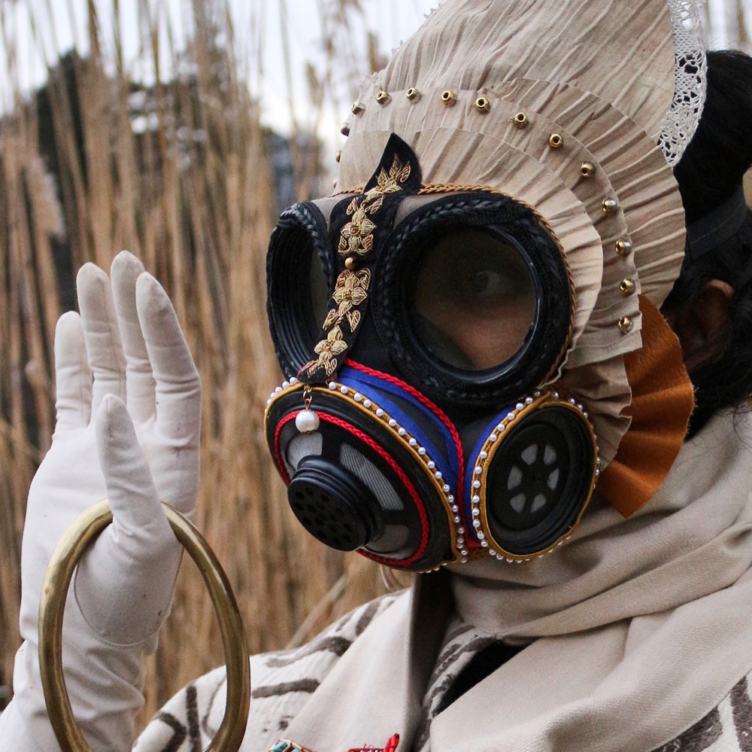 Dressed for Danger
 Masks from the Past
 Lessons from the Land
 A Cultural Hero
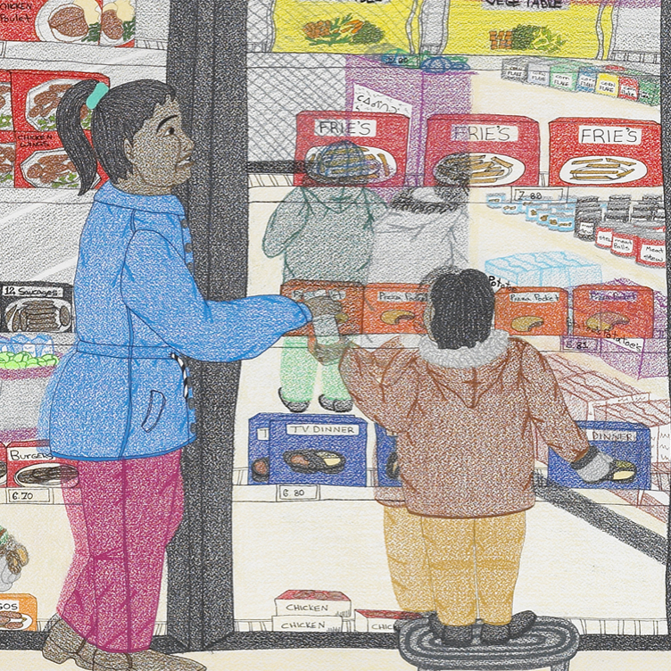 Food for Thought
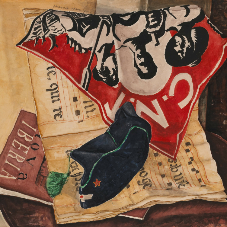 A Passion for Activism
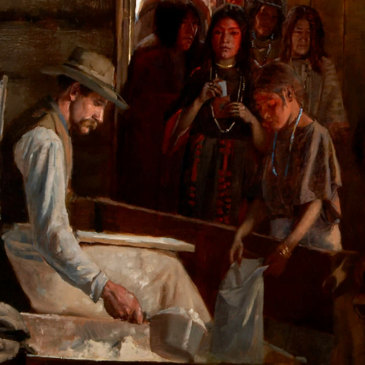 Starvation and Scandal